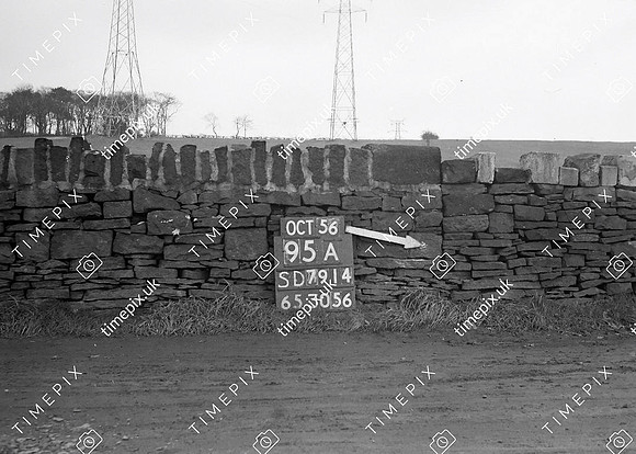
Historical street view Manchester area 1940s, 1950s showing Ordnance Survey revision point marking. Junction between two dry stone walls. Walls are made of shaped quarry sandstone.
No EXIF information is available
Categories & Keywords
Category:
Subcategory:
Subcategory Detail:
Keywords:1940s, 1950s, Ordnance Survey, bury, detail survey, dry stone walls, electricity supply, fields, history, man, minor control, pylons, revision point, street view, surveying, timepix, white arrow