Thank you for your patience while we retrieve your images.
Heritage Photo Archive & Heritage Image Register
Home
▼
Home
▼
Home
HERITAGE IMAGE REGISTER
▼
HERITAGE IMAGE REGISTER
▼
View the Register
Conditions of Deposit etc
IMAGE FINDER
▼
IMAGE FINDER
▼
SEARCH
How to Search
ABOUT
CONTACT
PHOTO SERVICES
THE HERITAGE IMAGE REGISTER
»
Ordnance Survey Revision Points Photos
Taken
13-Sep-18
Visitors
172
« Previous
Next »
2
of
146
photos
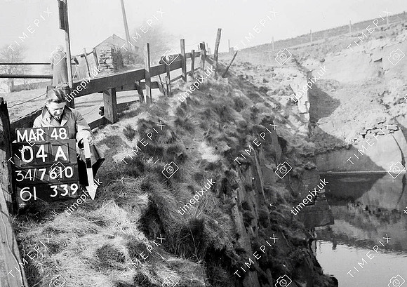
Ainsworth, deep quarry
Historical street view Manchester area 1940s, 1950s showing Ordnance Survey revision point marking. Photo shows old sandstone quarry near the centre of Ainsworth village.
No EXIF information is available
Categories & Keywords
Category:
Subcategory:
Subcategory Detail:
Keywords:
1948
,
ainsworth
,
bury
,
cockey moor
,
dry stone wall
,
ordnance survey
,
quarries
,
quarrying
,
radcliffe
,
radcliffe
,
sandstone
,
timepix
© Manchester Libraries, Manchester City Council, all rights reserved ( 01/06/1957 or later is © Crow