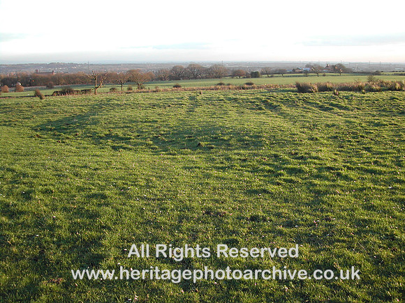
There is a series of regular markings visible on the satellite images. Click here to access. http://g.co/maps/7ue2m It is not known whether these are associated with the coalfield or are simply allotments or field divisions of some kind from a much later date.
NIKON E885, f/2.8 @ 8 mm, 1/162, ISO 100, No Flash