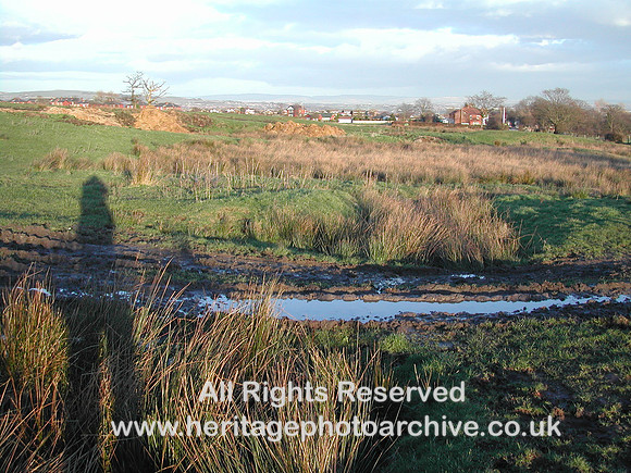
Later coal workings meant that the original track (from the building left back) had to be diverted. The photo clearly shows how the track wends round to the right and then across to the left in front of the photographer. In fact on the map and satellite image it shows up as a prominent U-shape. Click here to see map and satellite image
http://g.co/maps/hmwpu The shadowy apparition on the left is the photographer. Sometimes in record photography it is impossible to obtain a picture from the right location without including the shadow!