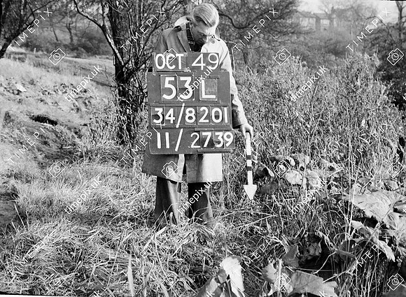
Salford, The Cliffe area, by River Irwell 53.508974 -2.264812
Historical street view Manchester area 1940s, 1950s showing Ordnance Survey revision point marking in Salford.
No EXIF information is available
Categories & Keywords
Category:
Subcategory:
Subcategory Detail:
Keywords:1940s, 1950s, Ordnance Survey, detail survey, dry stone wall, history, man, minor control, revision point, salford, street view, surveying, the cliffe, timepix, white arrow