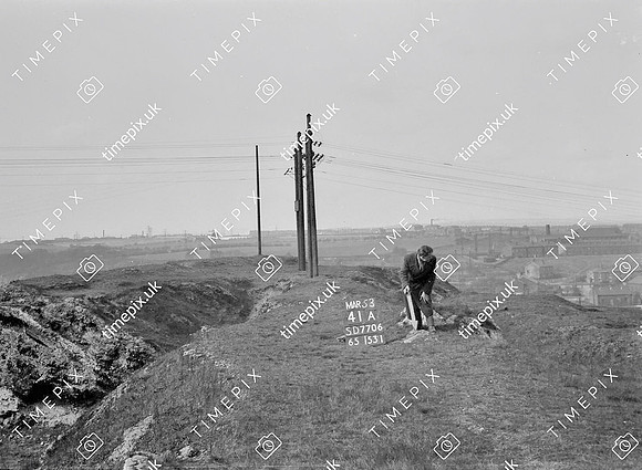
Radcliffe, Outwood, Bottom o'th Fields, White rocks SD53.5517 -2.341317
Historical street view Manchester area 1940s, 1950s showing Ordnance Survey revision point marking. An area known as "White Rocks", waste from an unsuccessful iron furnace near Outwood Colliery.
No EXIF information is available
Categories & Keywords
Category:
Subcategory:
Subcategory Detail:
Keywords:1940s, 1950s, Ordnance Survey, detail survey, electricity, history, man, minor control, outwood, power lines, revision point, street view, surveying, timepix, waste tips, white arrow