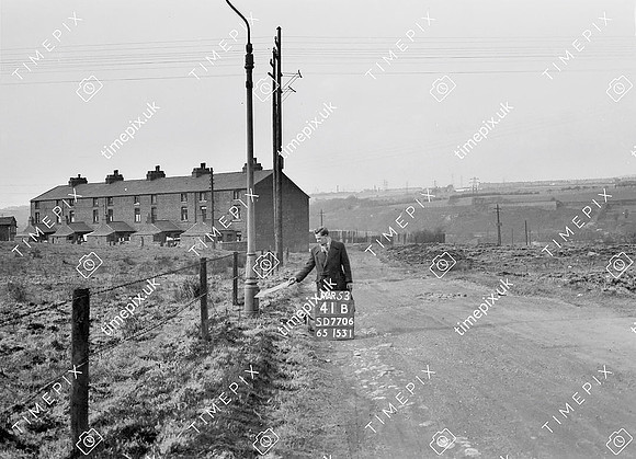
Historical street view Manchester area 1940s, 1950s showing Ordnance Survey revision point marking. Bottom o'th' Fields hamlet neat Outwood Colliery, Radcliffe. View to North.
No EXIF information is available
Categories & Keywords
Category:
Subcategory:
Subcategory Detail:
Keywords:1940s, 1950s, Ordnance Survey, bury, detail survey, folds, hamlets, history, houses, man, minor control, outwood, radcliffe, revision point, street view, surveying, timepix, white arrow