Thank you for your patience while we retrieve your images.
Taken 14-Sep-18
Visitors 168


« Previous Next »
56 of 146 photos

Radcliffe, 28 steps looking east

Historical street view Manchester area 1940s, 1950s showing Ordnance Survey revision point marking. Locally known as 28 steps. Church of St Andrew spire on left and St Paul on right.
No EXIF information is available

Categories & Keywords
Category:
Subcategory:
Subcategory Detail:
Keywords:1940s, 1950s, 28 steps, Ordnance Survey, bradley fold junction, bury, detail survey, history, man, minor control, moss shaw farm, radcliffe, railways, revision point, street view, surveying, timepix, white arrow

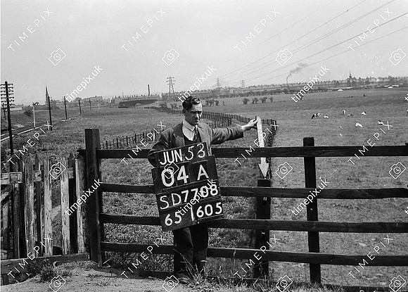
Radcliffe, 28 steps looking east