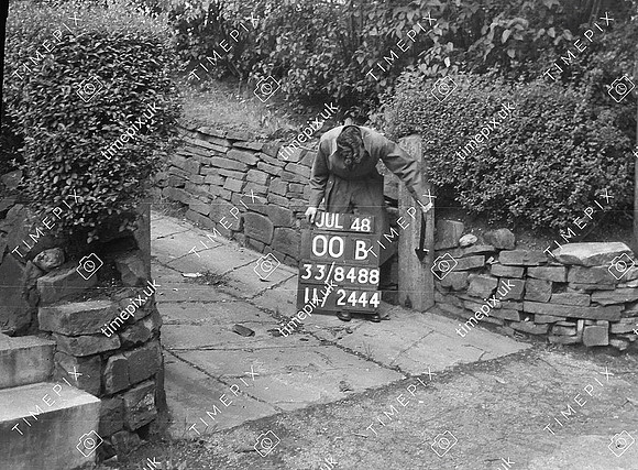
Manchester, Styal Road, Dry Stone walling 5338909 -2.291287
Historical street view Manchester area 1940s, 1950s showing Ordnance Survey revision point marking. Appears to be a cut-through footpath or 'ginnel' with a dry stone wall.
No EXIF information is available
Categories & Keywords
Category:
Subcategory:
Subcategory Detail:
Keywords:1940s, 1950s, Ordnance Survey, detail survey, dry stone wall, history, man, manchester, minor control, revision point, street view, styal road, surveying, timepix, white arrow