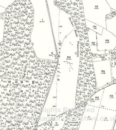
HRS 10645 Hole of Ellel area rifle range MAP 25 inch 1890
In the 1890s there was rifle range on the Holker Estate - clearly shown on the map. The range was 600 yards in length and curiously made difficult by not having a complete light-of-sight.
No EXIF information is available
Categories & Keywords
Category:
Subcategory:
Subcategory Detail:
Keywords:DSW, cumbria, dry stone walls, hole of ellel, holker, military shooting ranges, rifle ranges